Not a black box
Every reading shows its receipt.
Most tools hand you a number and ask you to trust it. BirdRisk hands you the number and what it rests on. Tap any area and the card opens its books: how many recent bird sightings sit in that cell, when the latest one was recorded, which open scientific database it came from, and what is driving the level. The number is yours to judge, not just ours to assert.
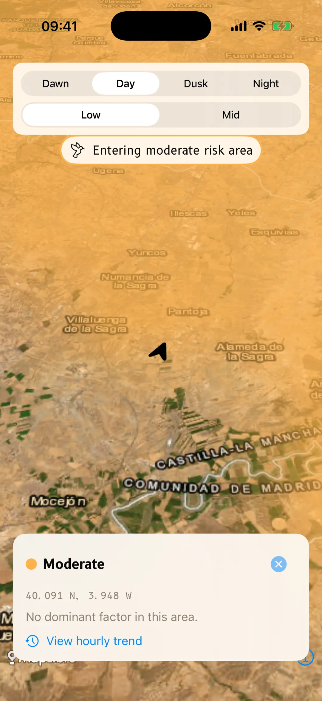
MODERATE
Grid cell ≈ 11 km across
- Sightings
- 8 in this cell
- Latest
- dated, to the day
- Source
- GBIF · eBird · iNaturalist
- Main driver
- Griffon vulture soaring
Example of the risk card. Every value is read from live data — none of it is estimated to fill a gap.
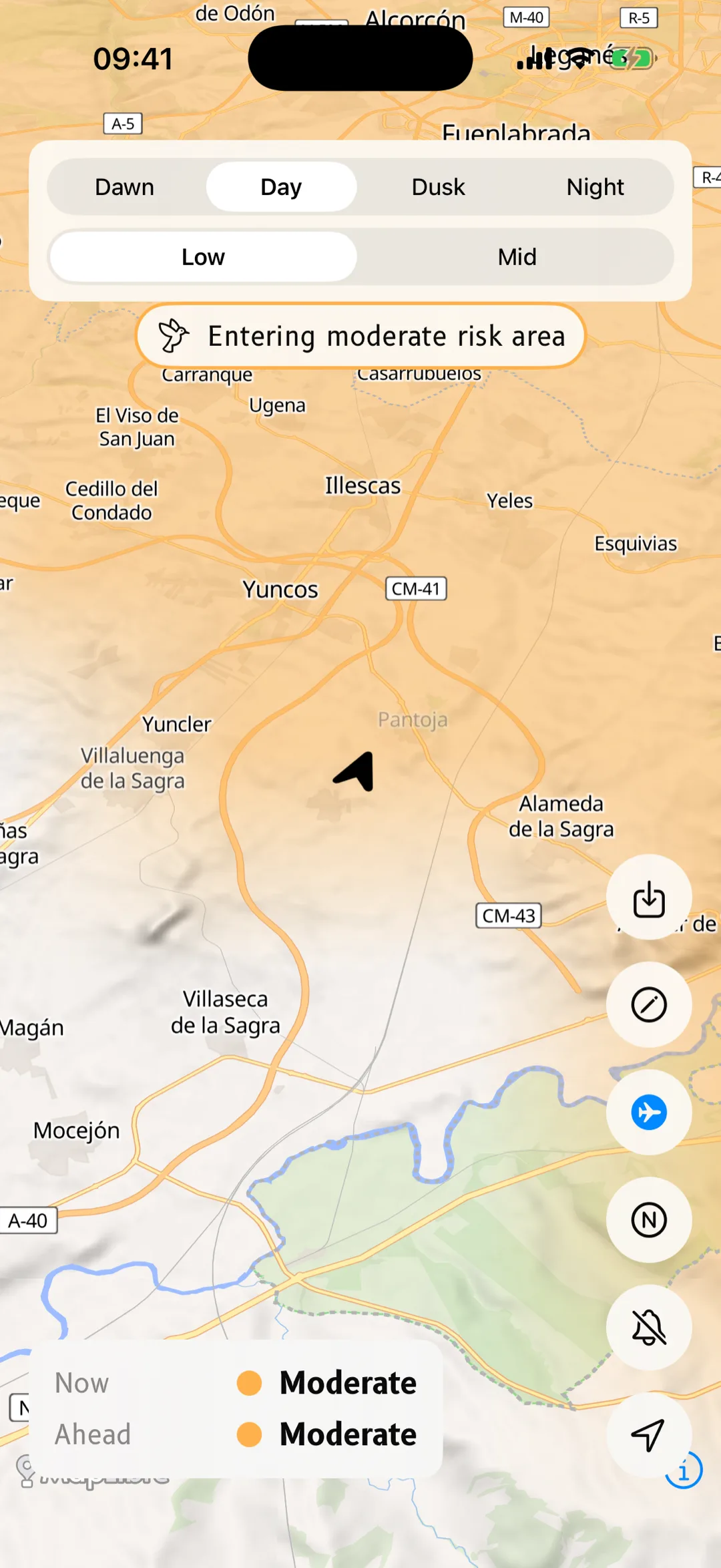
The map is just as plain about its own limits. It tells you the scale it is claiming — a coloured area covers a grid cell, not a single point. When a hazard layer cannot load, it says so, and the risk shown is a lower bound: an absent layer is never an all-clear. And “no data here” is never dressed up as low risk.
Built on the same data ornithologists and controllers use.
- GBIF
- eBird
- iNaturalist
- Movebank
- AEMET
- ENAIRE